MAPPING AND MODELLING OF GROUNDWATER USING REMOTE SENSING AND HYDROGEOLOGICAL ANALYSIS IN IVORY COAST
Country : Ivory Coast
Service : Water resources
Client : International Organisation for Migration (IOM)
Duration : october 2025 to february 2026
Total amount : €199 090
Harnessing innovation and data to ensure sustainable access to water
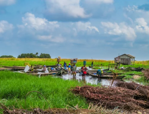
In the face of challenges linked to climate change, pressure on natural resources and growing water demands for domestic, agricultural and pastoral uses, a better understanding of groundwater is essential to guide investment in water infrastructure.
This project aimed to produce detailed mapping and an assessment of aquifer potential by combining remote sensing, geophysical analyses and hydrogeological studies. The results identified the areas most suitable for the development of sustainable water infrastructure, whilst contributing to risk prevention, territorial resilience and the reduction of conflicts over access to natural resources.
Type of services provided
-
Mapping of groundwater resources using remote sensing, geophysical analyses and multi-criteria GIS approaches.
- Conducting hydrogeological studies to assess the potential, quality and recharge of aquifers.
- Groundwater modelling to improve understanding of its dynamics and availability.
- Analysis of the interactions between water resources, human activities, agriculture, livestock farming and climate change.
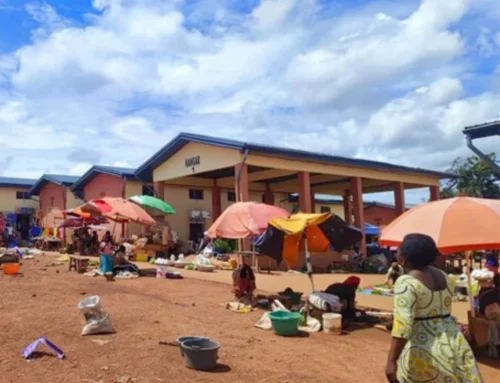
- Conducting field surveys on water use and existing water infrastructure.
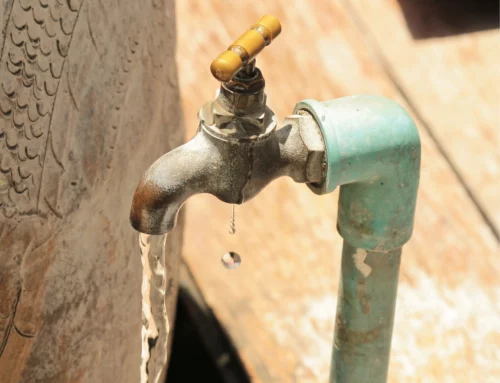
- Identifying the most suitable sites for establishing sustainable water points for communities, agriculture and livestock farming.
- Developing a database and decision-support tools for the sustainable management of water resources.
- Capacity building for national and local stakeholders and developing a strategy to ensure the long-term sustainability of water services in rural areas.